

Carr wildfire expanding rapidly in Northern California
The Carr wildfire is expanding rapidly in northern California, fuelled by the continuing hot, dry weather. The fire crossed the Sacramento River Thursday night and moved into Redding, the largest city in the region, causing evacuations.
State officials expanded the mandatory evacuation area to include the cities of Summit and Shasta Lake, northwest of Redding.
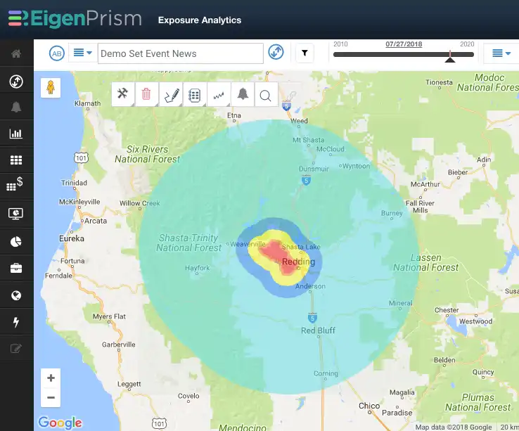
The Carr wildfire proximity map (available in EigenPrism) shows distance to the current fire perimeter, measured in miles. This map provides a fast overview of locations that are potentially at risk as the fire spreads.
Assessing the impact
Subscribers who set Wildfire Alerts will have already received automated impact estimates via text and email; a Quick Link has also been provided to all users. Please just click here to email us if you need help setting Alerts, or with further event analysis.
- EigenAlerts provide automated notifications with key metrics to estimate impact
- Customized and mobile enabled
- Updated as forecasts and advisories change
Arrange a live demo
Not a subscriber, but want to see how this works? Contact us and we’ll set up a live demo to show you how EigenPrism helps you plan, monitor and respond to nat cat events.
[wpforms id=”2114″]


