

Typhoon Hagupit and TS Sinlaku formed in the Western Pacific
Storm Activity: 8/03/2020, Monday
A massive depression in the Western Pacific Basin resulted in the formation of two storm systems: Hagupit(Dindo-local name) and Sinlaku.
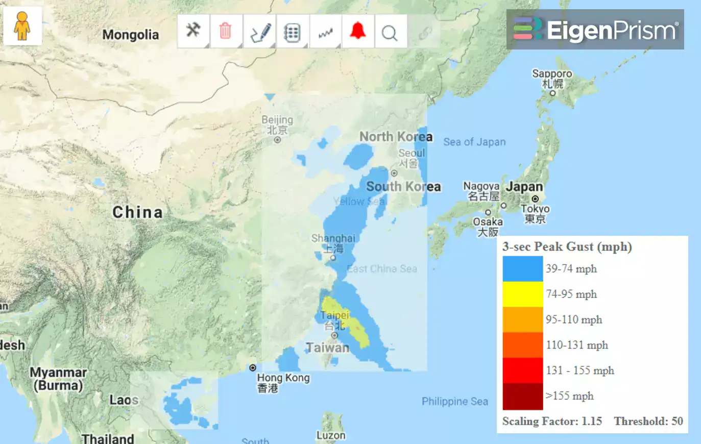
As Hagupit moved along the east coast of China, it gained strength and reached typhoon status Monday morning (August 3). Typhoon Hagupit is forecast to make landfall in Eastern China, later today, and then is expected to curve northeast, over the Yellow Sea towards the Korean Peninsula.
Typhoon Hagupit had a wind speed of 75 mph early this morning, and is expected to intensify further in the next 12 hours before making landfall.
As of Sunday morning (2nd Aug), Sinlaku made landfall along the coast of Vietnam and weakened to a tropical depression while tracking inland into northern Vietnam. Heavy rain and flash flooding is expected as it tracks through northern Vietnam, Laos, northern Thailand and Myanmar into Monday. Already, in excess of 5 inches of rain has led to flooding in northern Thailand and additional rain is likely to spark new flooding. Wind damage is no longer a threat.
Follow the quick links to assess the impact in EigenPrism:
Cyclone Hagupit:
- Tropical Storm Hagupit 5-day Forecast Max Winds– as of 2020-08-03
- Typhoon Hagupit Forecast Wind Swath – Advisory 10 – as of 2020-08-01
Cyclone Sinlaku:
- Hurricane Sinlaku 5-day Forecast Max Winds as of 2020-08-01
- TropStorm Sinlaku Forecast Wind Swath – Advisory 05 – as of 2020-08-02
Don’t have access to EigenPrism?
Sign up for a trial account and access full impact reports of all events. Contact us and we’ll set up a trial account for you.
More on event news:
- HURRICANE ISAIAS TO IMPACT FLORIDA, U.S. EAST COAST
- TROPICAL STORM ISAIAS
- HURRICANE HANNA
- HURRICANE DOUGLAS AND TS GONZALO
- M 7.8 EARTHQUAKE IN ALASKA
- TROPICAL STORM FAY MOVING INTO NEW JERSEY, NEW YORK
- COVID-19 FORECAST– (COVID-19 data now available monthly.)


